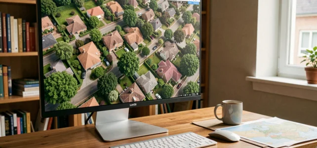
Typing “live aerial photo of my house by satellite” into a search engine returns dozens of promising results. The technical reality is more nuanced: no consumer tool broadcasts a continuous video feed of your roof from orbit. The images available for free are snapshots captured during successive satellite passes, then stitched together into mosaics. Understanding this gap allows you to choose the right tool based on what you are really looking for.
“Live” Satellite: What the Images Really Show
The term “real-time” applied to residential satellite views is misleading. Platforms like SAT24 do provide frequently updated satellite images, but they cover weather (cloud cover, precipitation) on a continental scale, not the detail of a specific plot.
See also : Find out how to easily find out who owns a house in Belgium
Google Earth, Google Maps, and similar services work differently. They compile images taken on different dates, sometimes spaced months or even years apart. No individual can access a live satellite feed of their house, in the sense of a continuously pointed camera.
The resolution of civilian satellites accessible to the public remains limited: you can distinguish roofs, pools, and large structures, but rarely fine details like a crack or small equipment.
Read also : How to Easily Resolve Connection Errors on Logisfil: A Practical Guide
To obtain a aerial photo of my house with Zen and Déco, you must know that you are viewing a dated snapshot, not a live broadcast.

Google Earth, Géoportail, LandViewer: Comparing Satellite View Tools
Three categories of tools coexist, each with its own limitations.
Google Earth and Google Maps
Google Earth remains the most well-known tool for exploring your house from above. The application allows you to zoom in on a location, switch to satellite view, and activate Street View for a ground perspective. Google’s satellite images are updated without a fixed schedule: some urban areas benefit from recent shots, while rural areas may display views dating back several years.
Géoportail and cartes.gouv.fr
Géoportail, operated by IGN, provides access to aerial photographs of French territory with systematic coverage. Géoportail is migrating to cartes.gouv.fr with a scheduled closure on September 30, 2026. This platform change alters the entry point for accessing official data layers, but aerial photographs remain available. IGN also offers a time machine that overlays historical images, useful for observing the evolution of a plot over several decades.
LandViewer (EOSDA)
LandViewer is aimed at more technical use. The platform aggregates images from several satellite providers (both free and commercial) and allows you to apply filters for date, cloud cover, or resolution. Recent satellite imaging offerings specialize in analysis (vegetation health, construction monitoring) rather than simple visualization. Access to the most precise images remains paid.
French Aerial Archives: An Often Overlooked Alternative
People looking for a recent view of their house often overlook a public resource. The archives of digitized aerial photographs, referenced on data.gouv.fr, are viewable online and downloadable for free. These photographs, taken by IGN during territory coverage campaigns, often offer higher resolution than public satellite views.
IGN aerial archives cover several decades of photographs and allow for documenting the state of a plot at a given date. This is a valuable resource for concrete needs:
- Verify the existence of a construction at a specific date in the context of a dispute or urban planning declaration
- Compare the evolution of a plot before and after construction or a climatic event
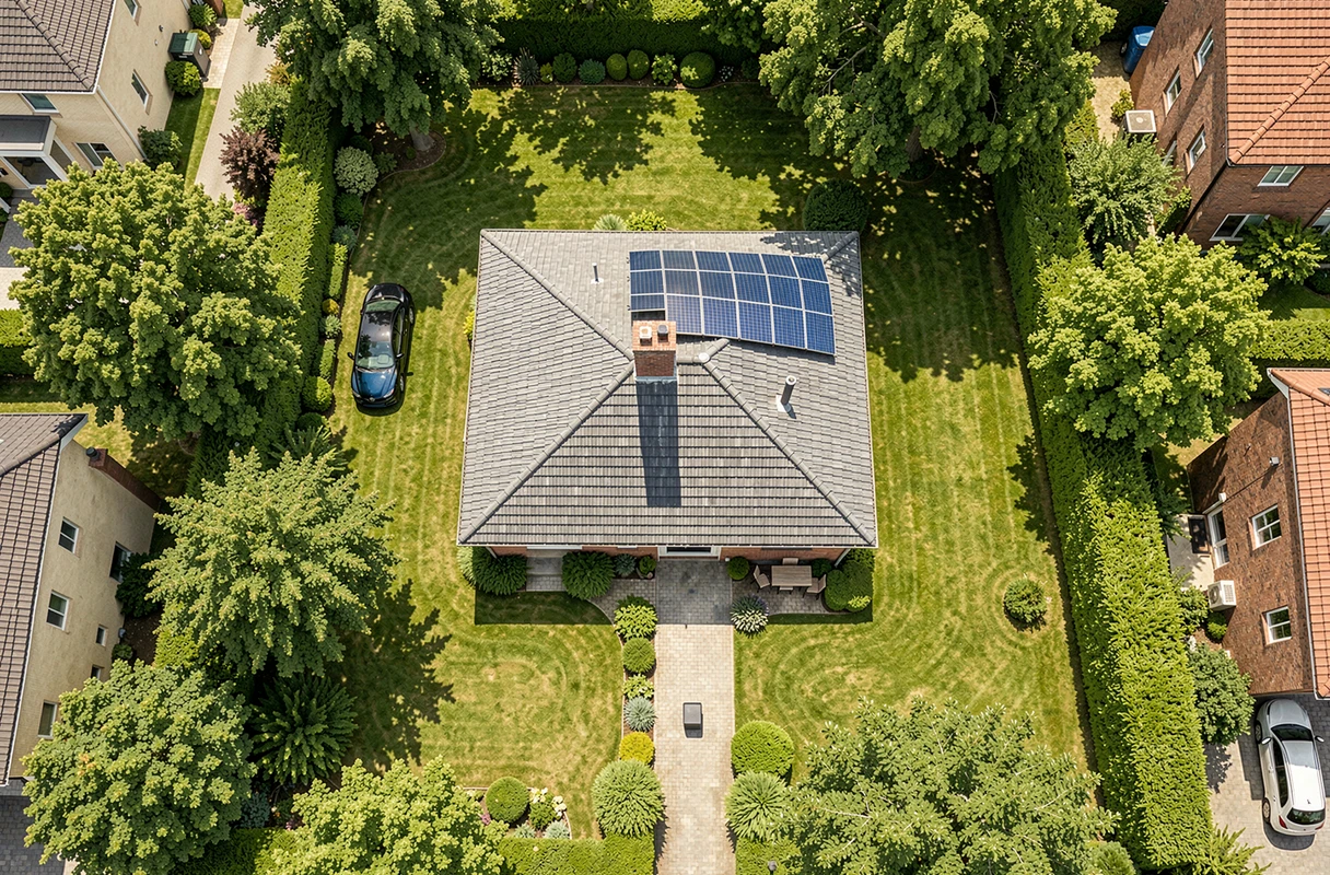
- Obtain a clear image of your roof to prepare a renovation quote or a damage report
These shots are not “live,” but their quality and evidential value often exceed what a free satellite tool provides.
Satellite Resolution and Privacy: Technical and Legal Limits
The question of resolution is inseparable from that of privacy. The most advanced commercial satellites achieve resolutions of a few tens of centimeters per pixel, but these images are not freely accessible to the public. Free platforms apply blurring or intentional degradation beyond a certain zoom threshold.
The French legal framework regulates the dissemination of high-resolution aerial images. The CNIL and regulations on personal data protection impose constraints on what can be published, especially when individuals or license plates are identifiable. Google Maps automatically blurs faces and plates in Street View, but vertical satellite views pose fewer such issues.
The available data do not allow us to conclude that a free service will ever provide sufficient resolution to replace a drone survey or a physical inspection. For professional needs (real estate appraisal, construction monitoring, precision agriculture), using commercial images or a drone service remains the most reliable path.
Choosing the Right Tool Based on Your Actual Needs
The choice entirely depends on what you intend to do with the image. For simple curiosity or geographical scouting, Google Earth and Google Maps are sufficient. The Google Maps app on Android or iOS allows you to switch between map view and satellite view with a few gestures, and Street View complements the perspective.
For documentary or administrative use in French territory, cartes.gouv.fr and IGN archives are the most comprehensive source. For regular monitoring with analysis tools (vegetation index, change detection), LandViewer or equivalent platforms provide an additional functional layer, at a cost for high resolutions.
The expectation of a “live view” of one’s house by satellite remains a technological fantasy for the general public. What exists, however, are dated images, often of increasing quality, accessible for free, and sufficient for most common uses. The real recent progress is not the refresh rate, but the democratization of access to images once reserved for professionals.